 Cart(
Cart(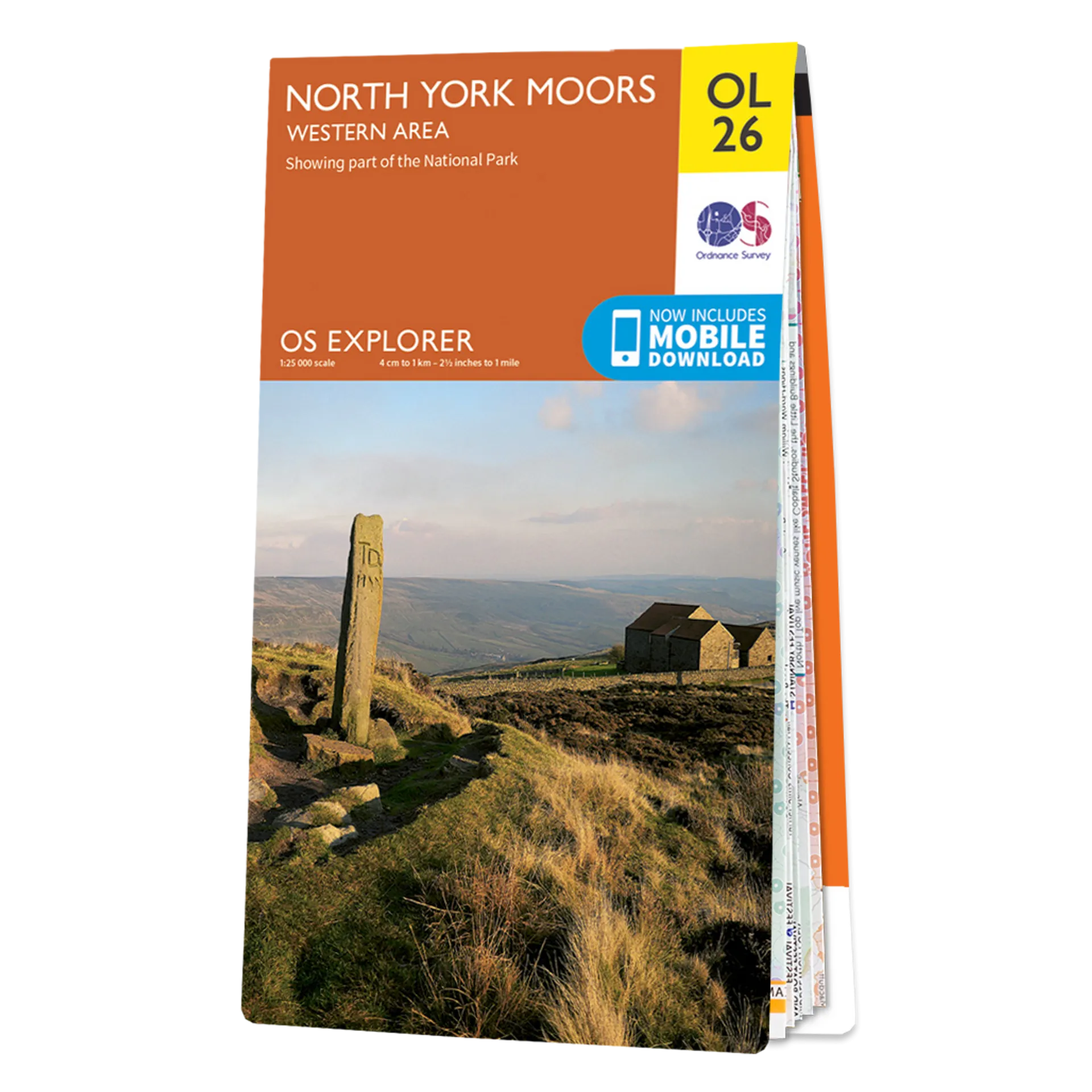
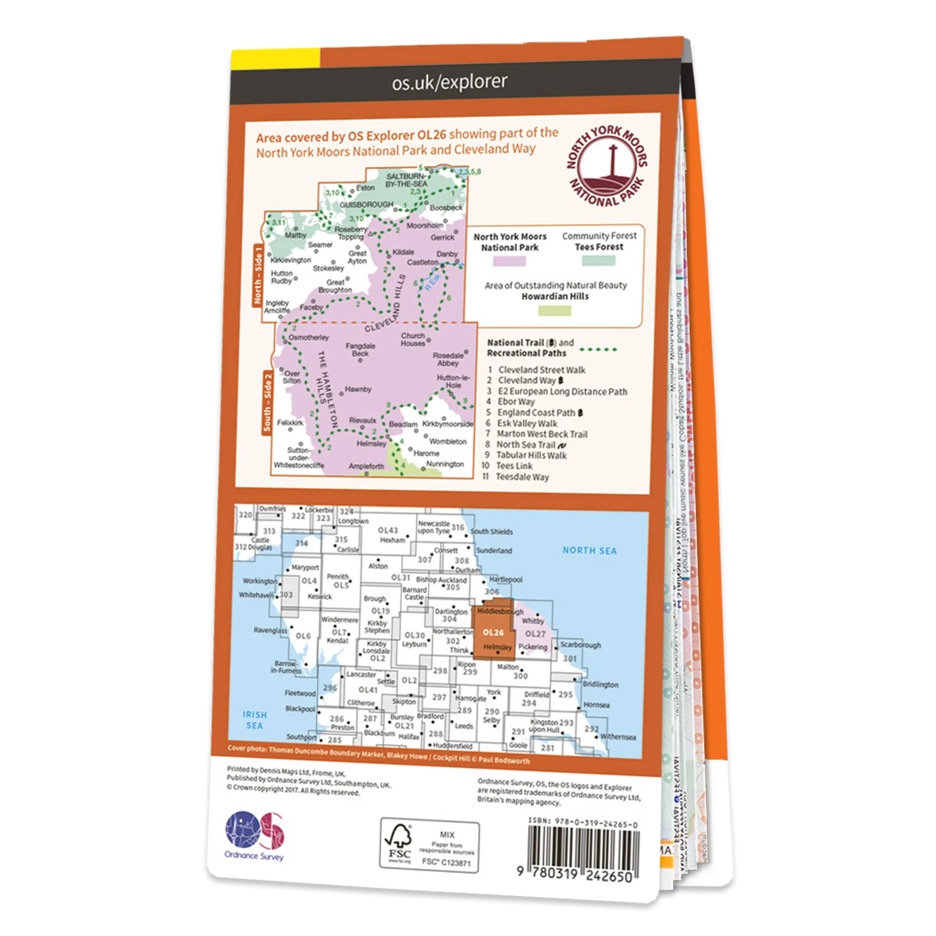
Ordnance Survey Explorer OL26 Map North York Moors - Western Area
This Ordnance Survey Explorer OL26 Map is ideal for walkers, climbers, horse riding, and off-road cycling with its detailed paper folded map. Whether you're exploring, North York Moors, the Cleveland hills, and a section of the Howardian Hills, you'll have all the information you need at your fingertips. Rights of way, fences, permissive paths and bridleways are clearly shown, ensuring you have the best information to get the most out of your time in the countryside. Perfect for outdoor enthusiasts.
This map now comes with a digital version which you can download to your smartphone or tablet.
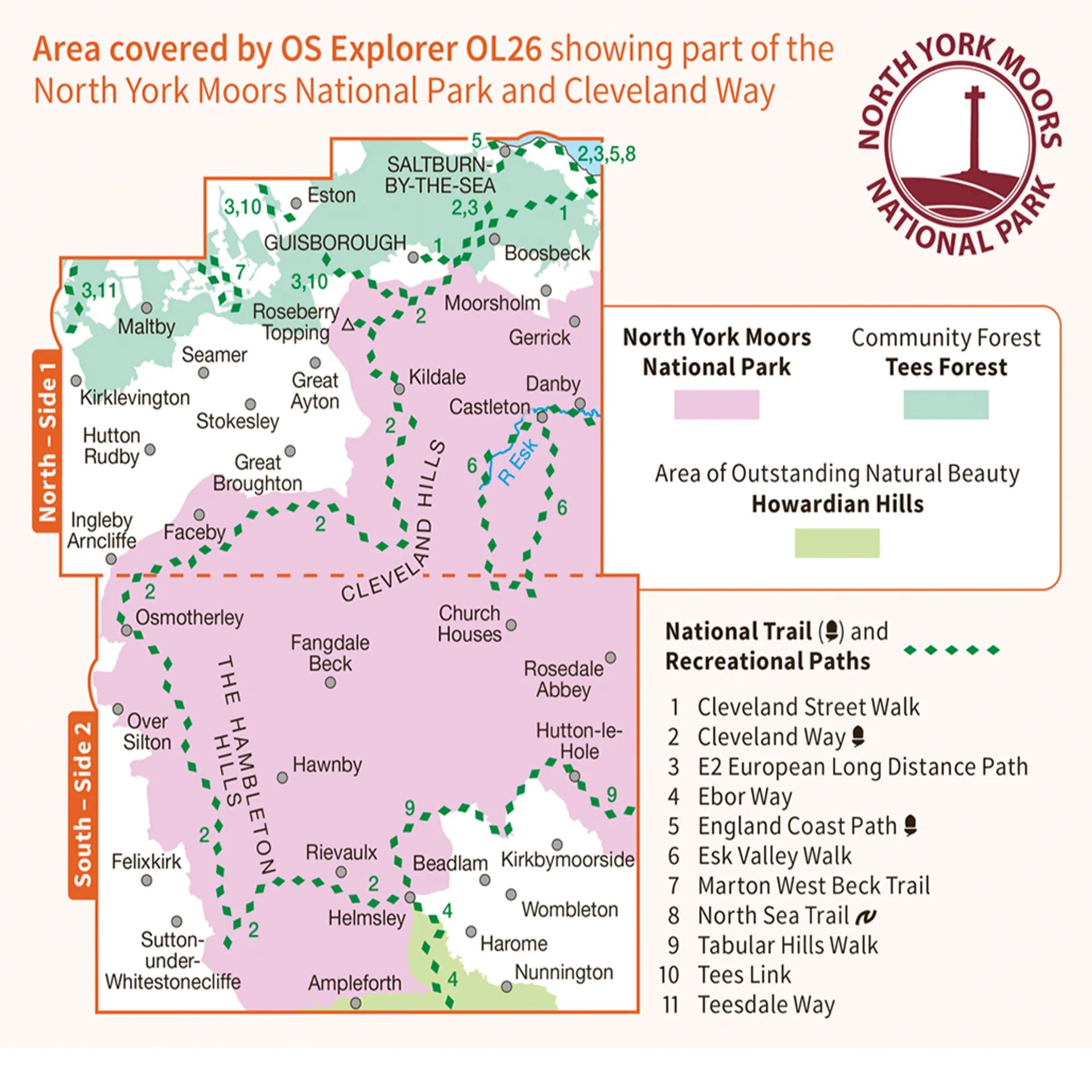
Explorer OL26 is a must-have when visiting the area of the North York Moors. This map displays the Western area of the moors, the Cleveland hills, and a section of the Howardian Hills.
Featuring:
- Cleveland Way
- Ebor Way
- Cleveland Street
- Teesdale Way
- Tees Link (Strategic Link to be shown at 50k)
- Marton West Beck Trail
- Cleveland Way (National Trail)
- E2 (European Long Distance Route)
- Middlesbrough
- North Yorkshire
- North York Moors National Park
- Cleveland
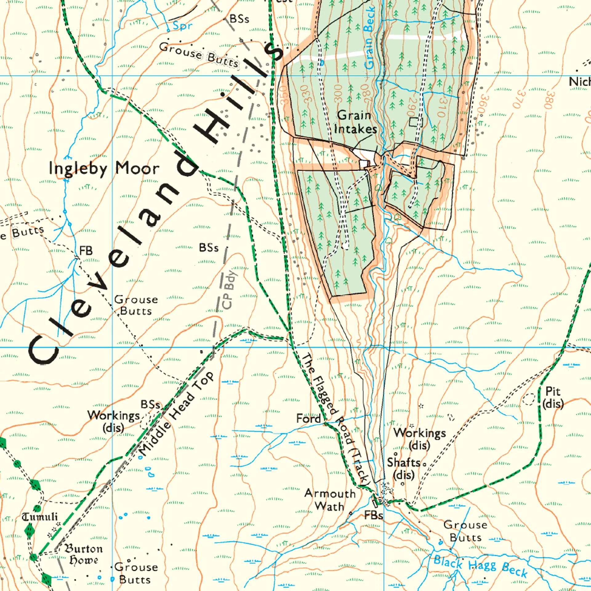
- 1:25 000 scale (4 cm to 1 km – 2.5 inches to 1 mile)

")
")


